Out of the Depths, Into the Classroom and Lab Curator Nichole Anest and the Core Repository Staff Originally presented 20 Oct 2018 https://www.ldeo.columbia.edu/core-repository Supported in part through NSF Grant #OCE 15-59059 The Lamont-Doherty Core Repository (LDCR) contains one of the world’s most unique and important collection of scientific samples from the deep sea. Sediment … Continued
GeoMapApp: a tool for students, teachers and researchers to explore and visualise marine geoscience data with Andrew Goodwillie (Oct 2006)
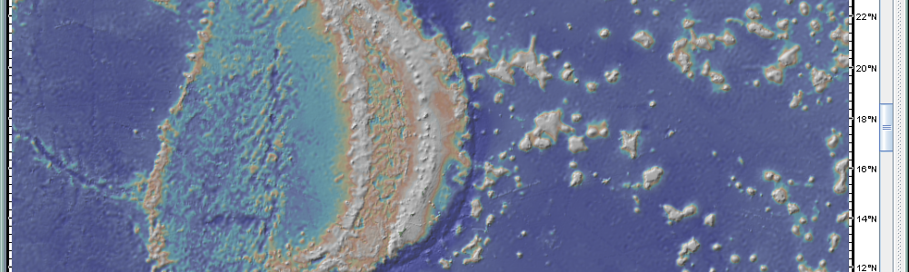
GeoMapApp: a tool for students, teachers and researchers to explore and visualise marine geoscience data with Andrew Goodwillie Originally presented 28 Oct 2006 One key skill all students need to master is how to use the vast amounts of information available in online databases. In today’s workshop, Andrew Goodwillie from the Marine Geosciences Database … Continued
“GeoMapApp and Virtual Ocean: Free tools for exploring and visualising geosciences data” with Andrew Goodwillie (Feb 2009)
GeoMapApp and Virtual Ocean: Free tools for exploring and visualising geosciences data with Andrew Goodwillie Originally presented 7 Feb 2009 GeoMapApp and Virtual Ocean are free tools developed by Lamont scientists for exploring and discovering geoscience data. They are used by middle and high school teachers as well as research scientists. In addition to containing a wealth of … Continued
“GeoMapApp and Virtual Ocean: Free tools for exploring and visualising geosciences data” with Andrew Goodwillie (Feb 2010)
GeoMapApp and Virtual Ocean: Free tools for exploring and visualising geosciences data with Dr. Andrew Goodwillie Originally presented 27 Feb 2010 GeoMapApp and Virtual Ocean are free tools developed by Lamont scientists for exploring and discovering geoscience data. They are used by middle and high school teachers as well as research scientists. In addition to containing a wealth … Continued
“Helping Students Develop Imagery Skills with GeoMapApp and Google Earth” with Andrew Goodwillie and Steve Kluge (Feb 2009)
“Helping Students Develop Imagery Skills with GeoMapApp and Google Earth” Andrew Goodwillie and Steve Kluge Originally presented 7 Feb 2009 Rapid advances have been made in the development of digital technologies to represent our planet, and in the applications of such resources in classrooms to enhance student achievement. Dr. Andrew Goodwillie has been a … Continued
“GeoMapApp & Deep Earth Academy Lessons” with Andrew Goodwillie and Steve Kluge (Sep 2013)

GeoMapApp & Deep Earth Academy Lessons Andrew Goodwillie and Steve Kluge Originally presented 28 Sep 2013 Abstract Encourage students to engage in greater understanding of how Earth behaves through educational activities based on GeoMapApp, a powerful visualization application used by research scientists. Overview of GeoMapApp GeoMapApp is an earth science exploration and visualization application that … Continued
“GeoMapApp Middle and High School Learning Activities” with Andrew Goodwillie and Steve Kluge (Sep 2013)
“GeoMapApp Middle and High School Learning Activities” with Dr. Andrew Goodwillie and Steve Kluge Originally presented 29 Sep 2013 GeoMapApp is an Earth Science exploration and visualization application that is continually being expanded as part of the Marine Geoscience Data System (MGDS) at the Lamont-Doherty Earth Observatory of Columbia University. The application provides direct access to … Continued